Turncarver
A Photo Journal
V2_2505151625
Day 6: Otemma Glacier to Vignettes Hut
| Trip Date: | 04/23/2016 |
|---|---|
| Weather: | Foggy with snow flurries in the AM; snow and near white-out by end of day; warm |
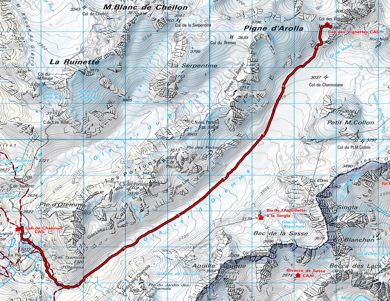
| Comments: | The weather closed in, and after some debate we decided to travel via the Otemma Glacier instead of the planned route over the Pigne d'Arolla, which is much higher. |
| Location | Travel Mode | Ending Elevation (ft) | Elevation Change (ft) | Time of Day | Distance | Time this Leg | Cum Trip Time | Observations |
|---|---|---|---|---|---|---|---|---|
| Chanrion Hut | Start | 8,077.0 ft | 6:57 AM | |||||
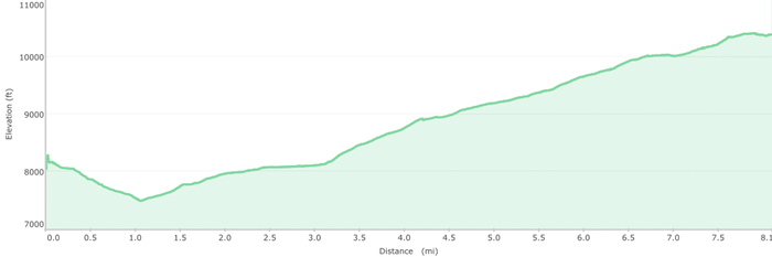
| Ski down to the valley floor | Ski | 7,490.0 ft | -587.0 ft | 7:30 AM | 1.10 mi | 0:33 | 0:33 | Easy ski on heavy snow |
| Skin Up Otemma Glacier to Vignettes Hut | Skin | 10,367.0 ft | 2,877.0 ft | 2:32 PM | 7.00 mi | 7:02 | 7:35 | Easy, long skin on gentle grade; a few kick turns at the end |
Travel times in this table include, breaks, transitions, etc
| Max Elevation: | 10,367 ft |
|---|---|
| Net Elevation Gain: | 2,290 ft |
| Total Total Ascent: | 2,877 ft |
| Total Descent: | -587 ft | Total Miles: | 8.1 mi | Total Duration: | 7:35 |
Map (click on image to enlarge / zoom to fit small screens)
Elevation Profile
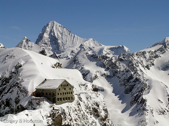
Vignettes Hut (click on image to enlarge / zoom to fit small screens)